5.5 Earthquake Hits Coast During Holiday Weekend — No Damage Reported
GET YOUR ECUADOR VISA HANDLED BY EXPERTS
Trusted by 2,000+ expats • Retirement • Professional • Investor visas
Ecuador's coast got an unwelcome wake-up call on the first morning of the holiday weekend.
At approximately 7:25 AM on Saturday, April 4, 2026, a magnitude 5.5 earthquake struck off the coast near the Santa Elena and Guayas provincial border. The quake's epicenter was located offshore in the Pacific, at a shallow depth.
What Happened
The Instituto Geofisico (Ecuador's geological monitoring agency, part of the Escuela Politecnica Nacional) recorded the earthquake and classified its intensity as "moderate to mild" based on ground acceleration measurements across the affected area.
The tremor was felt across six provinces:
| Province | Intensity | Major Cities Affected | |---|---|---| | Santa Elena | Moderate | Salinas, La Libertad, Santa Elena city | | Guayas | Moderate | Guayaquil, Samborondon, Duran | | Los Rios | Mild | Babahoyo | | Manabi | Mild | Portoviejo, Manta | | Bolivar | Mild | Guaranda | | El Oro | Mild | Machala |
No damage was reported in any province. No injuries were recorded. The Oceanographic Institute of the Navy (INOCAR) confirmed there was no tsunami alert -- the quake's characteristics did not meet the threshold for generating dangerous wave activity.
In Guayaquil, Ecuador's largest city with over 2.7 million residents, the earthquake was felt in high-rise buildings and upper floors of apartment complexes but caused no structural damage. City authorities conducted rapid inspections of critical infrastructure including bridges, overpasses, and the Malecon 2000 waterfront area -- all cleared.
Second Quake in Three Days
The Saturday earthquake follows a magnitude 4.1 tremor recorded near Loja on April 2. That smaller quake was felt in parts of Loja province and northern Peru but likewise caused no damage.
Two earthquakes in three days is not unusual for Ecuador. The country sits on the Pacific Ring of Fire and atop the convergence zone where the Nazca Plate subducts beneath the South American Plate. Ecuador experiences hundreds of seismic events annually, though most are too small to feel.
The country's seismic history includes devastating events. The April 16, 2016 earthquake -- a magnitude 7.8 -- killed 676 people and destroyed large parts of Pedernales, Muisne, and Canoa on the northern coast. The 2016 quake remains a defining event for coastal Ecuador and a reference point for emergency preparedness.
Ecuador's Seismic Monitoring
Ecuador maintains a robust seismic monitoring network through the Instituto Geofisico, which operates sensors across the country and provides real-time data to emergency services. The agency publishes earthquake reports on its website and social media channels within minutes of an event.
INOCAR (Instituto Oceanografico de la Armada) handles tsunami monitoring specifically, operating tide gauges and deep-ocean sensors along the coast. When an earthquake meets certain magnitude and depth thresholds, INOCAR issues tsunami evaluations -- in this case, determining no alert was warranted.
Earthquake Preparedness for Residents
If you live in Ecuador -- particularly on the coast or in seismically active zones -- basic preparedness is essential:
In your home:
- Secure heavy furniture to walls -- bookshelves, wardrobes, and water heaters are common hazards during shaking
- Know your building's structure. Reinforced concrete frame buildings (the standard in urban Ecuador) generally perform well in moderate earthquakes. Unreinforced masonry (adobe, brick without rebar) is significantly more vulnerable
- Keep a go-bag with documents (passport, cedula, visa), medications, water, a flashlight, cash, and a phone charger
- Identify safe spots in each room -- under sturdy tables, next to interior walls, away from windows and heavy objects that could fall
During an earthquake:
- Drop, cover, hold on. Get under a sturdy table or desk, cover your head and neck, and hold on until the shaking stops
- Do not run outside during shaking. Falling debris from building facades is one of the leading causes of earthquake injuries
- If you are on the coast and shaking lasts more than 20 seconds or is strong enough to make standing difficult, move to high ground immediately after the shaking stops. Do not wait for an official tsunami alert -- natural warning signs (prolonged strong shaking, ocean recession) should trigger immediate evacuation
After an earthquake:
- Check for gas leaks if you have a gas stove or water heater
- Inspect your home for cracks -- particularly in load-bearing walls and around door and window frames
- Expect aftershocks. Moderate earthquakes are commonly followed by smaller tremors in the hours and days afterward
What This Means for Expats
- This earthquake was a non-event in terms of damage, but it is a useful reminder. If you have been in Ecuador long enough, you have felt earthquakes before. If you are new, Saturday's tremor was a mild introduction to a reality of living on the Ring of Fire. Take it as a prompt to review your preparedness rather than a cause for concern
- Coastal residents should understand tsunami protocols. Salinas, Manta, Bahia de Caraquez, Montanita, and other coastal expat areas are within tsunami risk zones. Know your evacuation route to high ground. Municipal governments in coastal cities have posted tsunami evacuation route signs -- follow them
- Building quality matters when choosing a home. Modern construction in Ecuador (post-2001 building code, updated after 2016) is designed to withstand significant seismic activity. Older buildings, particularly unreinforced masonry structures, carry higher risk. If you are renting or buying, the building's age and construction type are legitimate factors to consider
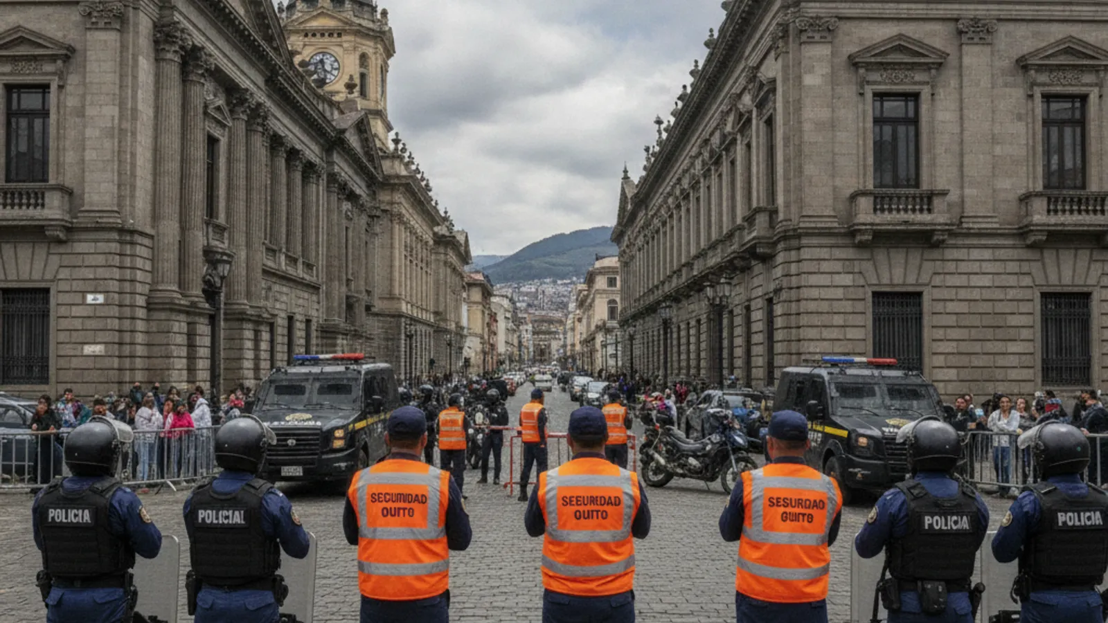
- Ecuador's monitoring and response systems work. The Instituto Geofisico reported the earthquake within minutes, INOCAR issued its tsunami evaluation promptly, and municipal authorities conducted infrastructure inspections. The system functions as designed
Emergency contacts:
- ECU 911 -- national emergency line
- Instituto Geofisico: www.igepn.edu.ec (real-time seismic data)
- INOCAR tsunami alerts: www.inocar.mil.ec
Sources: El Universo, Teleamazonas, Primicias
More in Safety
View all →Keep practical Ecuador coverage free to read.
Reader support helps fund source monitoring, translation, editing, publishing, and national coverage for expats across Ecuador.
EcuaPass
Your Ecuador Visa, Done Right
Retirement • Professional • Investor • Cedula processing & renewals — start to finish by licensed experts.
Get a Free Consultationecuapass.com
Need help with your Ecuador visa? EcuaPass handles the paperwork for you. Learn more →
Comments
No comments yet. Be the first to share your thoughts!