Ecuador's El Nino Red Alert Is About Preparedness, Not Immediate Rain

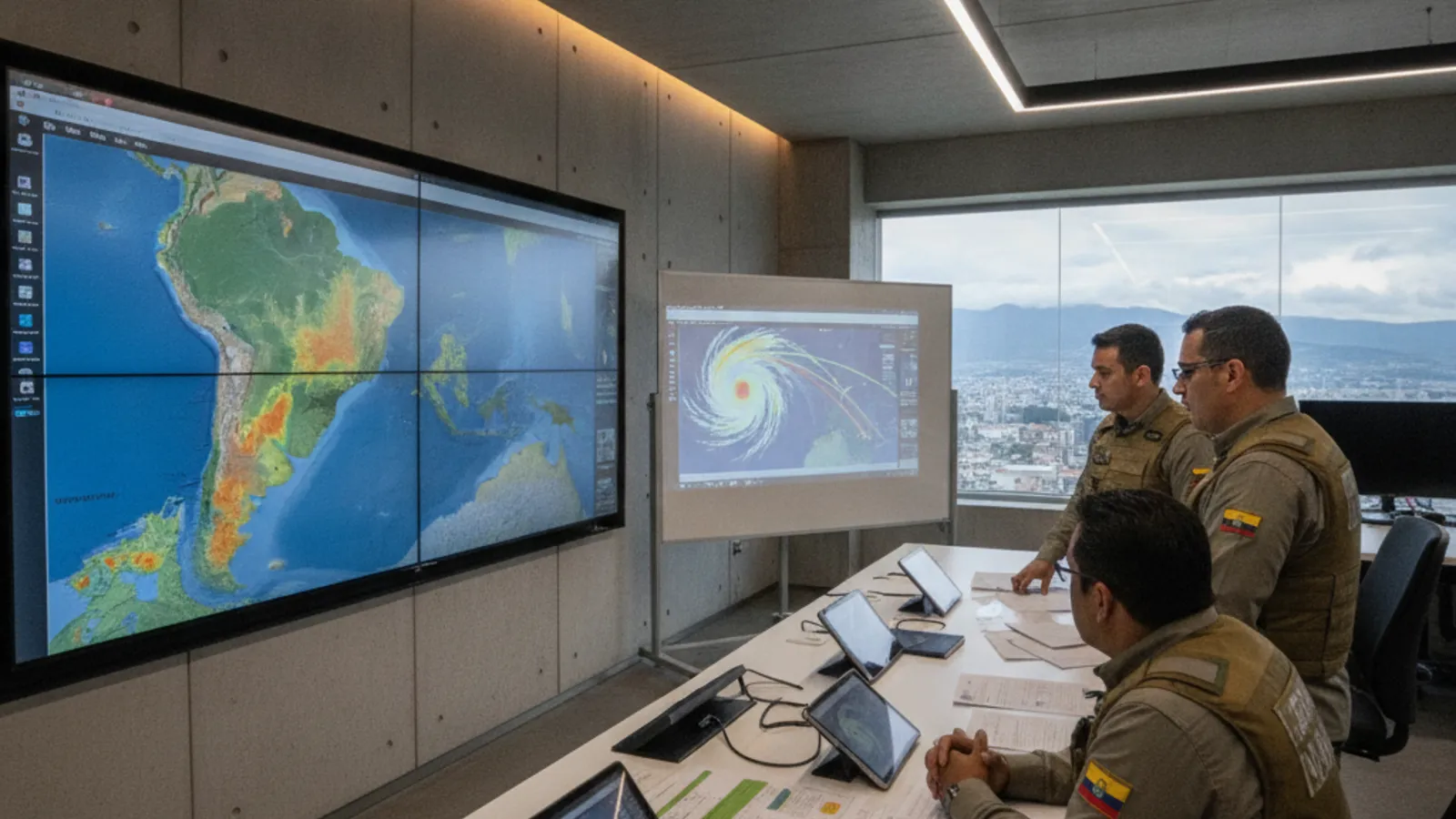
Ecuador's Secretariat for Risk Management has issued a red alert for El Nino, describing the climate event as already underway in the waters off Ecuador. But the agency is also making a distinction that matters for residents: a red alert is not the same thing as a forecast of immediate intense rain in every part of the country.
What the alert does mean
The Secretariat said the red alert "no significa lluvias intensas inmediatas" in Ecuador. It described the purpose as better preparation so authorities can act on time, activate COE committees, execute action plans, and strengthen monitoring.
The alert followed technical analysis indicating that the meteorological phenomenon is present and underway in the Pacific Ocean. That is a national preparedness decision. It does not, by itself, say that every province will experience the same conditions on the same day.
Coast and Sierra can see different effects
The source describes the Ecuadorian pattern in regional terms. El Nino is associated with intense rain and flooding on the Coast, where those conditions tend to coincide with the winter season. In parts of the Sierra, the described effect can be the opposite: an absence of rain or drought.
That difference is useful context for foreign residents who move between regions, plan road travel, or maintain homes in more than one part of Ecuador. A national alert should prompt people to check the conditions for their actual province and route, rather than assume that a report from Guayaquil describes Cuenca, Quito, or the highlands.
The Guayaquil question
Guayaquil had light rain on September 1, and the rain was linked in the report to traffic accidents. That led to questions about whether the first precipitation was the arrival of El Nino. The Secretariat's explanation was that current precipitation periods are not related to El Nino.
The practical message is therefore two-part: the phenomenon is present and authorities are preparing, but a light rain event is not automatically proof that the national alert has produced immediate heavy rainfall. The difference matters when residents make decisions about travel, outdoor plans, and local risk.
The declaration also has an institutional meaning. The Secretariat says the technical analysis found the phenomenon present and underway in the Pacific, and that the response is to be better prepared to act on time. Its description of COE activation, action plans, and stronger monitoring gives residents a clearer frame for following future updates than the color of the alert alone.
What residents should watch
The source points to preparedness measures, COE activation, action plans, and monitoring as the near-term response. Residents should watch official updates for their own location and distinguish an alert status from a specific local forecast.
On the Coast, the relevant exposure described by the source is intense rain and flooding. In parts of the Sierra, the concern described is the absence of rain or drought. Those are different planning problems under the same national climate event.
Source: Primicias
More in Safety
View all →Keep practical Ecuador coverage free to read.
Reader support helps fund source monitoring, translation, editing, publishing, and national coverage for expats across Ecuador.
Need help with your Ecuador visa? EcuaPass handles the paperwork for you. Learn more →
Comments
No comments yet. Be the first to share your thoughts!